Ground software space solutions
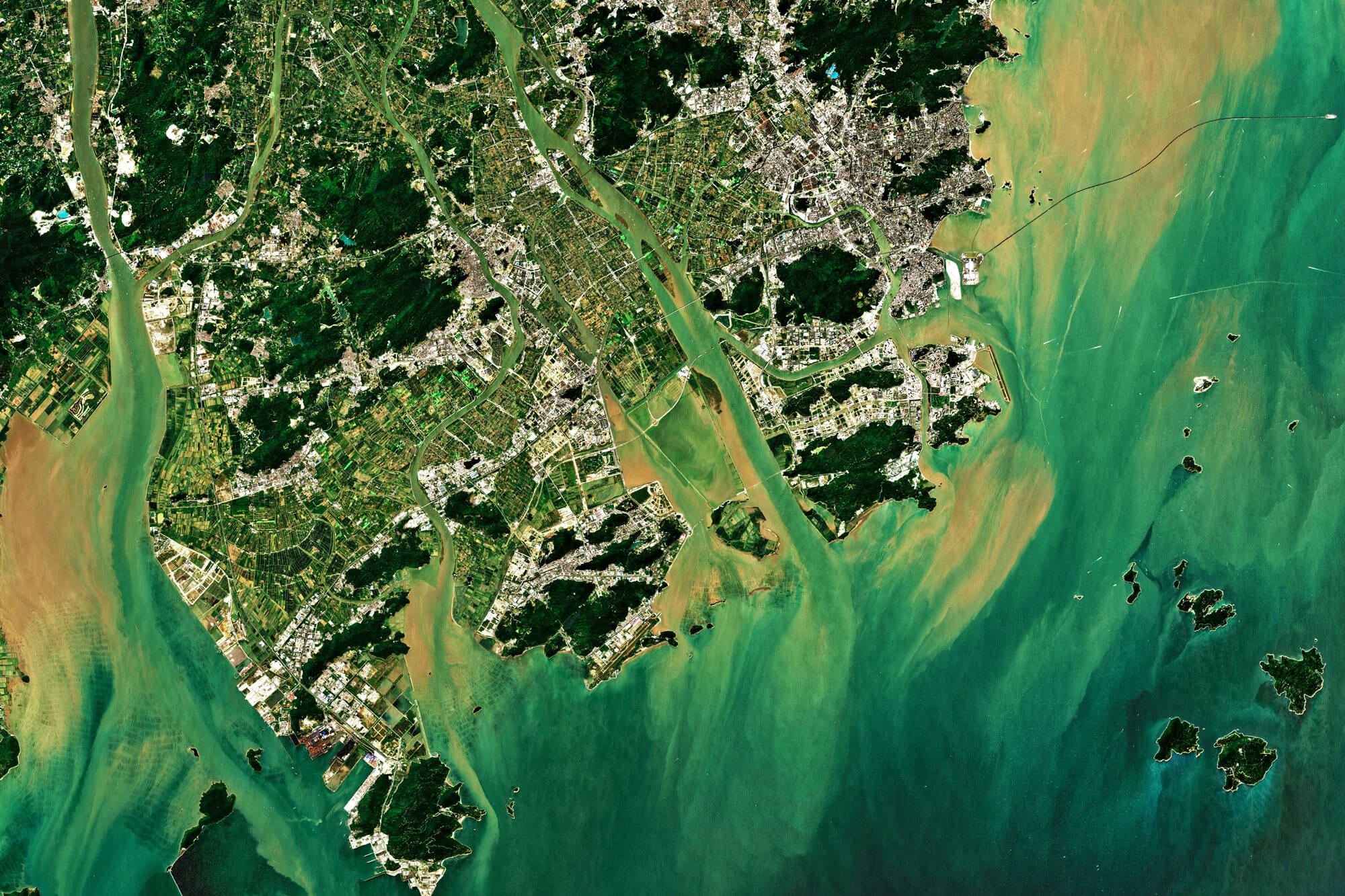
tenics develops software for the operation of space missions, such as tasking or autonomous mission control, as well as software systems for evaluating optical, hyperspectral and SAR payloads.
We create reliable and user-friendly ground software.
Ground software systems are highly complex and safety-critical; optimal, intuitive user guidance under time pressure is paramount. Therefore, in addition to the high reliability of our system software, we place particular emphasis on intuitive and streamlined user interfaces – for a fast, unambiguous, and error-free Ground software operation.
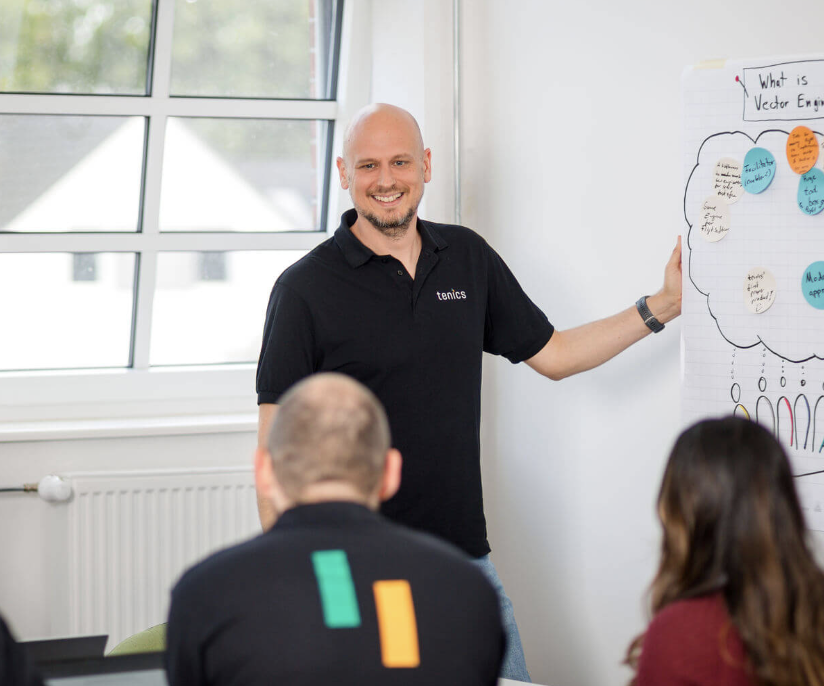
Dirk Roßkamp, ground software expert at tenics
Why go for ground software by tenics?
-

Experienced in building highly available ground systems
-

Agile work processes for optimal usability and functionality
-

Acting quickly, delivering quality: We are proven in mission-critical projects
-

We are a certified partner and we love brilliant products.

Our services related to ground software
- Order and tasking Portals for requesting satellite data by users with varying levels of experience
- Satellite data analysis systems
- Mission control systems
- Sequence and process control (mission sequences, automation)
- Visualization frontends / dashboards / user interfaces
- Data architecture, databases, historical data
- Protocol handling (STAC, CCSDS, PUS)
- Interfaces and APIs (REST, gRPC, message queues)
- Alarm/event systems for areas of Interest
- Redundancy and high availability
- Audit trails
- Logging, monitoring, diagnostics
- Testing and verification, validation, simulation
- Documentation, qualification
Technology and process expertise
- Backend technologies, databases, microservices, middleware
- Interface protocols (STAC, CCSDS, PUS, gRPC, REST)
- Ground Segment architecture, data flow
- Telemetry flow, command management, alarm sequences
- Interface overview
- Frontend frameworks, dashboard, visualisation
- Scalability, load behavior, performance optimisation
- CI/CD, automated tests, interface tests
- Process methodology, transparency, agile approach
Ground software projects by tenics

Development of an EO data portal in cooperation with Marble Imaging
By the end of June 2026, tenics and Marble Imaging will develop a prototype geodata-based portal (“Kaleidoscope”) for quick and easy access to public EO data as well as future Marble data and analytics. As part of this project, tenics is developing a collection of microservices for data processing.
The project is funded by the Bremen Aerospace Research Program 2027 (LuRaFo) with € 450,000.
Technically, the portal uses a microservice architecture with a frontend and API; it supports, among other things, Sentinel-2, Landsat, and, from Q3/2026, Marble data, including raster/vector processing and scalable storage.
Exciting project? – Let’s get in touch!
Frequently asked questions about ground software and ground control systems
What are the most important components of ground software in the space sector?
Key components include telemetry, tracking, and command (TT&C) systems for data transmission between the ground and the spacecraft; mission control software for mission planning, monitoring, and analysis; data processing systems for decoding, storing, and evaluating scientific and technical data; and automation and simulation tools for testing, training and fault simulation.
What ground software for space can tenics develop?
We develop the full spectrum, including:
- Operations software for real-time operation and control of satellites
- Planning software for mission planning, resource management, and process control
- Analysis and simulation software for test runs, failure analysis, and system validation
- Data management software for the acquisition, archiving, and scientific evaluation of mission data
What makes ground software so relevant for the space sector?
Ground software is crucial to the success of any space mission. Without it, satellites could not be controlled, errors could not be detected, and scientific data could not be analysed. It forms the backbone of mission safety and ensures continuous communication between Earth and space. This is what makes ground software so challenging and exciting for us as developers.
What role does ground software play in satellite monitoring and control?
Ground software continuously monitors the position, orbital parameters, power supply and system status of a satellite. It analyses received telemetry data, detects deviations and sends correction commands if necessary. This ensures that satellites operate stably, safely and efficiently – often automatically and around the clock.
How do we start a collaboration on a ground software project?
We always start with an initial consultation, sometimes also with a workshop. Here we clarify the technical and scheduling requirements. We then prepare a concrete offer that also includes a proposed solution and a roadmap.